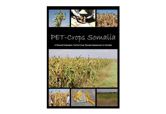
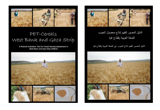
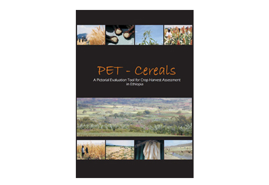
PET-Crops
PET-Crops allows the collection and analysis of yield estimates of standing crops at harvest. Data are collected by matching fields, seen during either walking or driving transects, with photo-indicators presented in the manual or app.
Driving transects - observers identify the approximate yield of fields seen through the windshield of a vehicle travelling at a slow, steady speed. At such a distance and using the photo-indicators of the fields from-a-distance, the proportion of harvestable crops passed on the journey that fit into the three categories, Red (high), Yellow (medium) or Blue (low) are identified. The three colour categories have been established to ease rapid approximation of yields during transects. The range of yields should be regarded as contiguous, NOT as three, preset, isolated discontinuous clusters. The colours provide a conveniant initial grouping, but do not preclude assessments of levels between each band (ie. red-yellow or yellow-blue). In some years there may be no crops in some of the colour bands. .
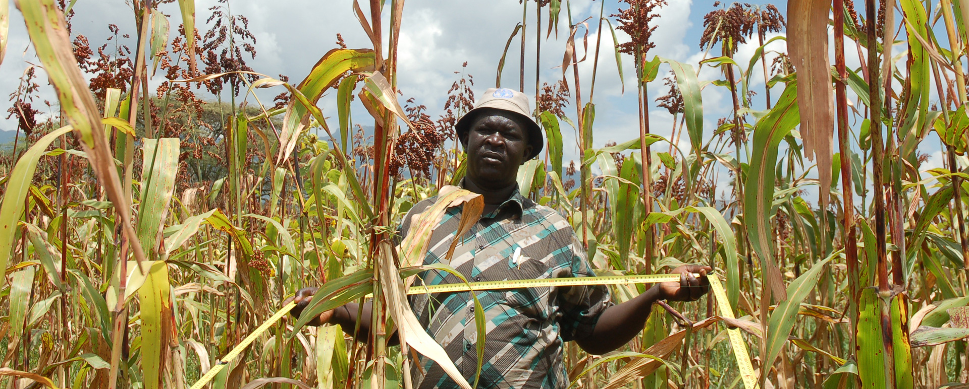
Walking transects - the fields are observed more closely which allows crops to be categorised at low, medium or high levels within the colour bands and at levels between or above the colour category, allowing more accurate assessments of yield to be made using the more detailed close-up (1 sq metre) photos. At the end of the assessments summaries of the weighted returns are prepared.
Representative samples of the field, threshing, winnowing and weighing the product to cross-check uses of the photo-indicators.
Detailed case-studies of a small number of available farmers involving semi-structured interviews can also be undertaken to compliment the PET data. Farmers chosen should be amenable, happy to be interviewed and to allow their fields to be entered for samples to be taken. A copy of the interview check list/summary sheet used with all recommended techniques may be found in the CFSAM guidelines (FAO/WFP, 2008). Sampling details are included in the PET manual.
These PET App Videos, which are step-by-step guides on how to use the different components of the app, provide insight into how the methodology works:
PET Crops Walking Transect Video Guide
PET Crops Driving Transect Video Guide
Further notes:
PET is a tool for rapid assessment using Optimum Levels of Accuracy (OLA)
As such speed of application, analysis and reporting is essential. Yields are calculated with formulas but it is the rigour, consistency and stamina of the teams using the manual that make the approach successful.
PET Crops provides estimates of yields per hectare at harvest time. It does not provide forecasts for immature crops, therefore the timing of assessment missions applying PET needs careful planning. PET estimates of crops just prior to harvesting need to be adjusted for moisture content (by drying to a constant weight).
PET Crops does not provide a ready-reckoner for area.
Combining the yield estimates from PET with the best-fit area estimates provides a rapid and direct estimate of production with which to identify food security strategy options at an early stage in the marketing year in prospect.